Figure 1
Download original image
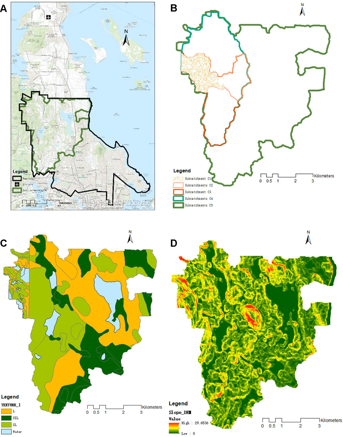
Geographic information system layer datasets used in the case study simulation. (A) Research area in Saanich on lower Vancouver Island, British Columbia, Canada; (B) catchment boundaries for C1 to C5; (C) soil type up to catchment C5; (D) slope data (derived from DEM data).
Current usage metrics show cumulative count of Article Views (full-text article views including HTML views, PDF and ePub downloads, according to the available data) and Abstracts Views on Vision4Press platform.
Data correspond to usage on the plateform after 2015. The current usage metrics is available 48-96 hours after online publication and is updated daily on week days.
Initial download of the metrics may take a while.